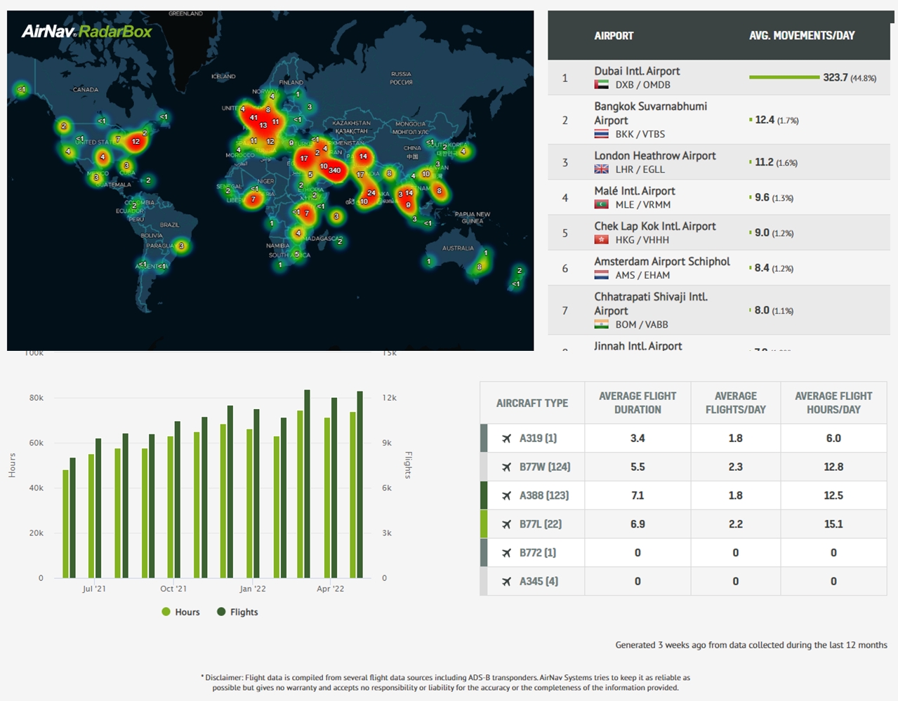
Understanding Global Air Traffic Patterns with AirNav Radar Density Maps
In an age where data visualization transforms raw information into insightful narratives, AirNav Radar’s Density Maps stand out as a powerful tool for understanding global air traffic. Imagine accessing a dynamic visual representation of aircraft positions seamlessly overlaid onto an intuitive map interface during a period of 7 days. This sophisticated visualization provides not just a bird's-eye view but a granular exploration of flight paths, hotspots, and traffic patterns across the globe.