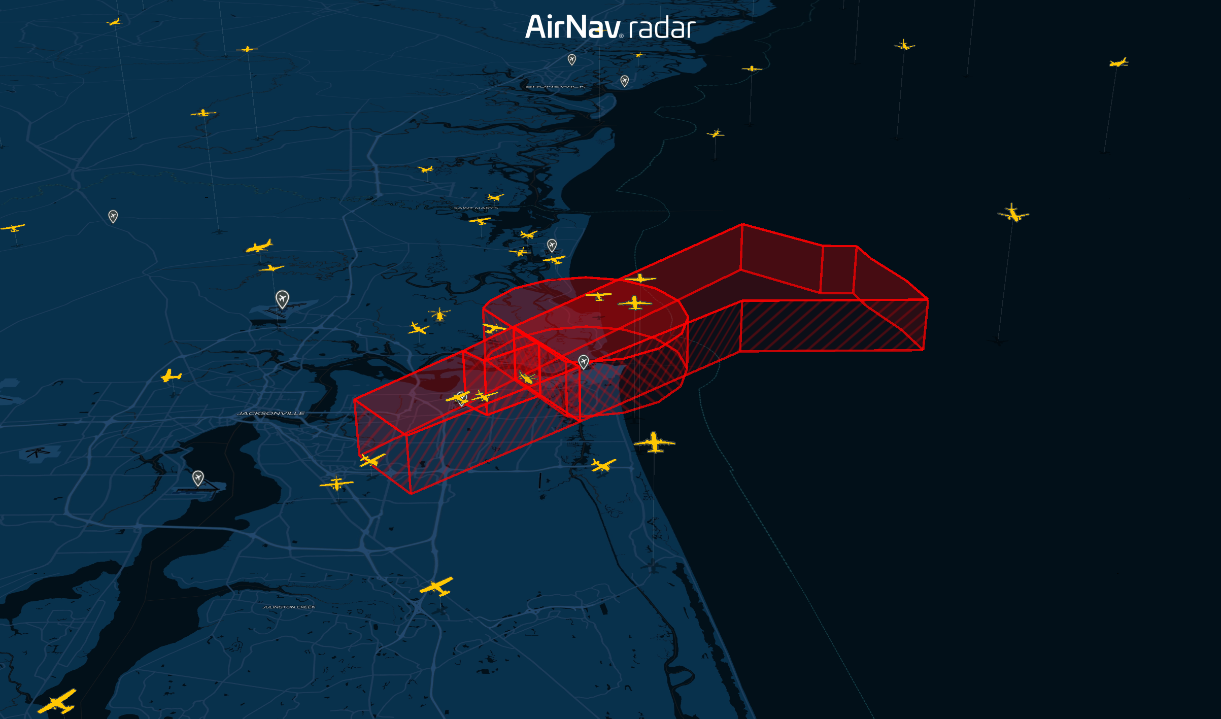
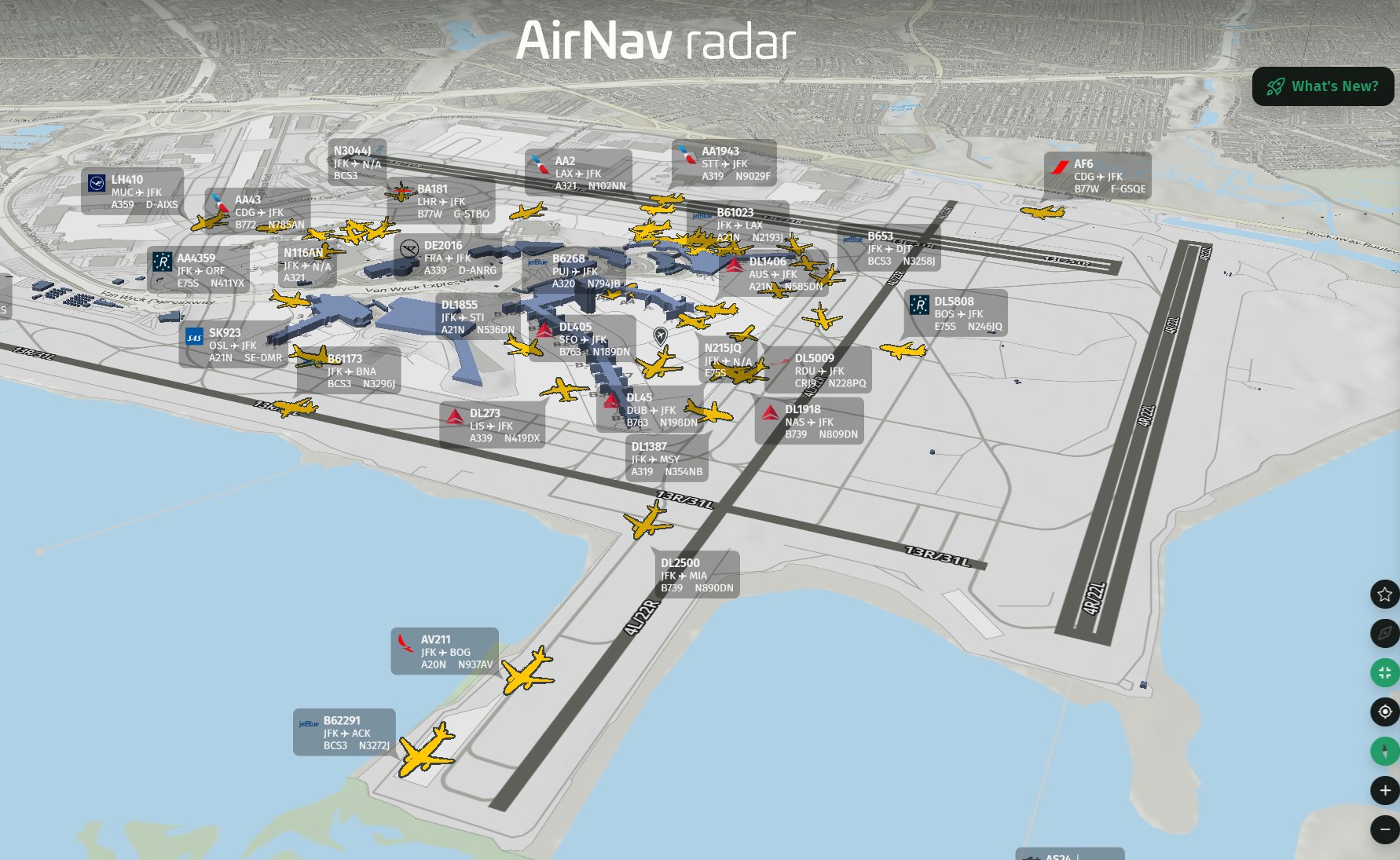
New 3D Map Updates: Runway Extensions, NAT Tracks and Enhanced Weather Layers
We’ve added a new set of updates to our 3D map, bringing more detail and aviation information to the tracking experience. The latest improvements bring additional data layers to the platform, including NAT Tracks, Temporary Flight Restrictions (TFRs), GPS Accuracy, turbulence, icing, volcanic activity, AIRMETs, and SIGMETs. These updates are available directly through the map and weather layer options, giving users more control over the information displayed on screen.